Heartlands, Chokepoints, and Conflict Zones: How Geopolitics Maps the World | Episode 212

PAST PROGRAM | Virtual Programs

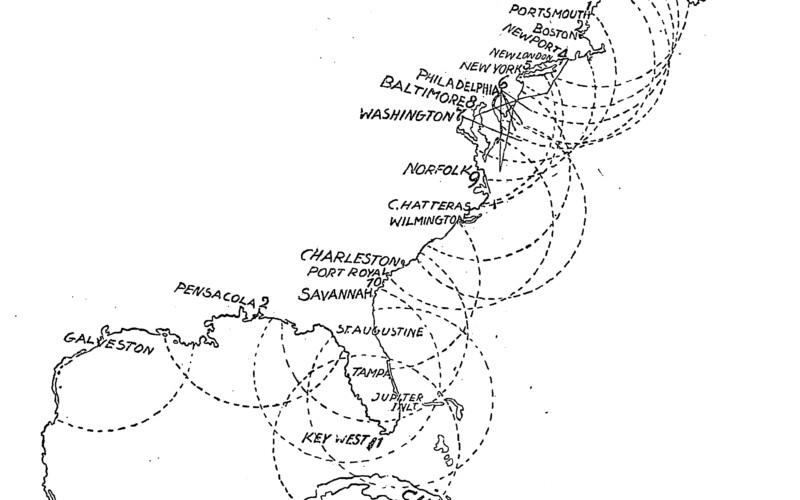
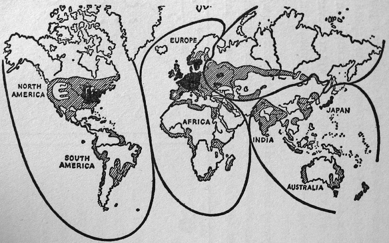
Maps hold the power to organize and explain the world beyond what we can observe with our own eyes, making them extremely powerful political tools. Maps that express a geopolitical vision of how the world works (or should work) have been hugely influential in shaping military strategy, international relations, and public opinion. In this virtual program, our resident political geographer and cartographer Andrew Gustafson will give a crash course on the history of geopolitics as a discipline, using examples of these influential geopolitical imaginings from the past 150 years, from Halford Mackinder’s Heartland to Ronald Reagan’s Chokepoints; Karl Haushofer’s Pan-Regions to George W. Bush’s Axis of Evil.

>> Continue reading

Lecture: “Naval Cartography and the Brooklyn Navy Yard,” Oct. 4

Continuing the fall discussion series, “Wayfinding for the Wayfarer and the Landlubber,” this talk by Andrew Gustafson investigates the significant role cartography – the art and science of drawing maps – has had in shaping world views, power, and politics. The discussion focuses on developments in navigation and cartography at the Brooklyn Navy Yard during the 19th and 20th centuries, with a focus on the Yard’s role in scientific expeditions, intellectual debates, coastal surveys, and the advancement of technology.

When booking, use the promo code Cartography92 to free tickets.

Thursday, Oct. 4, 6:30pm | Brooklyn Roasting Company, BLDG 92 | >> More Information <<