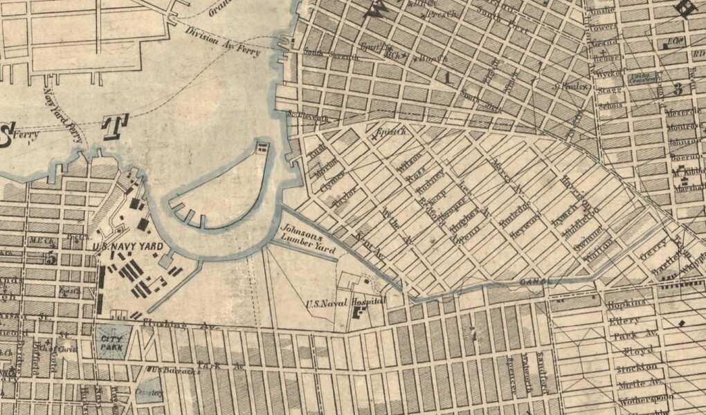
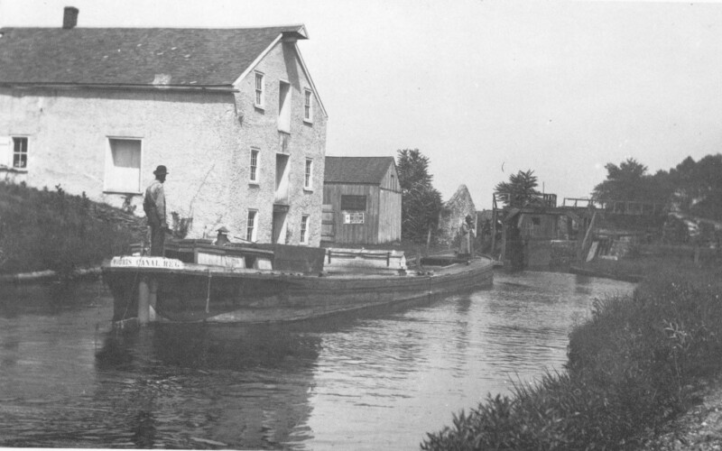
While New York City sat at the nexus of many important canals built in the 19th century — the Erie, Morris, and Delaware & Raritan among them — the city had its own internal network of lesser-known canals, some filled in, some never built, and some still with us today. As part of our ongoing virtual program series on canals, we will examine the ambitious schemes from the 17th century onward to connect the city’s bays and streams, from the Heere Graft of New Amsterdam to the Wallabout Canal of Brooklyn.
- WATCH past programs about canals
- Sergey Kadinsky’s Hidden Waters Blog
- Canal Society of New Jersey
- Beyond Manahatta: The Welikia Project
- Map of Kings and part of Queens counties, Long Island N.Y., 1852
- Sanitary & Topographical Map of the City and Island of New York, 1865
- A Connected View of The Whole Internal Navigation of the United States, 1830
- “A Really Greater New York,” (Popular Science, 1916)


